By Lillian Knudtson
Weather affects all people, and it is important for meteorologists to understand a wide range of events to communicate effectively to the public. My capstone is a project designed to dissect a particularly interesting phenomenon, especially to South Dakota. I have chosen to do a case study of a particular dust storm known as a haboob. The storm I am focusing on occurred May 12th, 2022, and it impacted the eastern part of South Dakota. A widespread, long-lived thunderstorm called a derecho created the haboob beginning in the south central portion of Nebraska and traveled north and east towards Sioux Falls. It sustained winds of 80 miles per hour, and the highest recorded winds of the event were 107 miles per hour. This storm is a good example of what is possible and can become a sample case for the future.
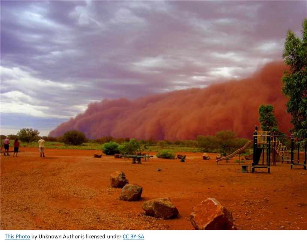
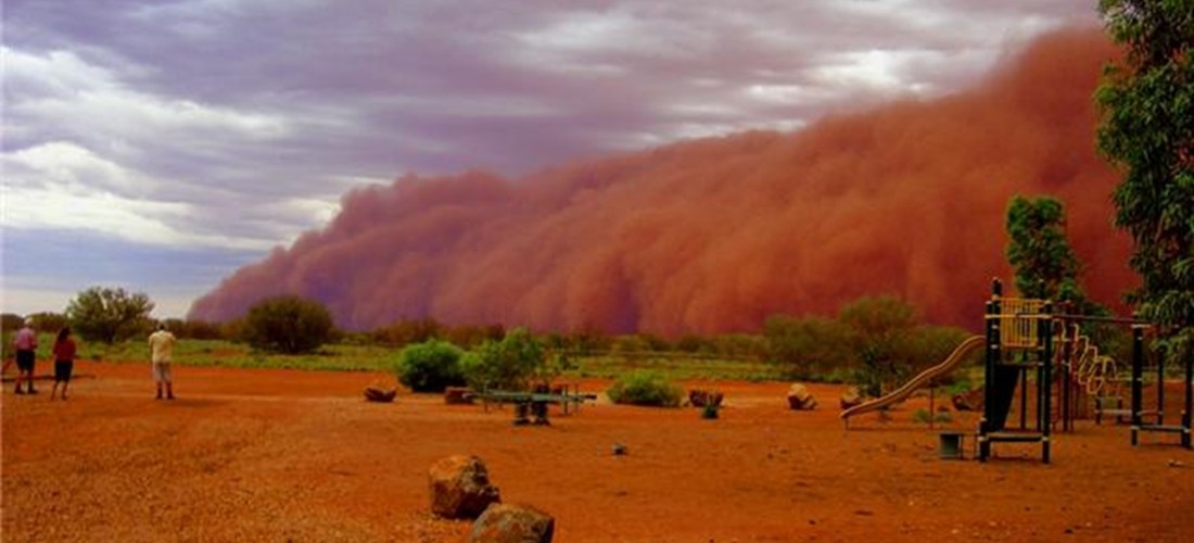
A haboob is a giant dust storm. It is named after the Arabic word habb, meaning “blown.” This type of storm is most common in the Middle East and Northern Africa, where is it historically arid. But haboobs are also well known in the Southwestern United States and are becoming an occurrence in previously unlikely places as well. Haboobs are created from loose particles that are picked up by strong winds caused by storms like monsoons or derechos sweeping across the surface of the earth. The massive amount of precipitation associated with these events evaporate, which is a cooling process, so cool air called a gust front accelerates out in front of the storm at a fast rate, picking up particles and building a wall of air and dirt. The particles are mostly less than 10 micrometer pieces of dirt, dust, and sand, but they can be as large as a pea, and the wind can pick up other debris along with it. These walls of air and dirt can reach grow to 5000 feet tall and 100 miles wide, and they can move at 60 miles an hour (Eagar, Herckes, Hartnett, 2016). Overall it is a phenomenon that is quite terrifying.