It Spins Me Right Round: What’s The Big Deal With Tornadoes?

Atmospheric Science Students, Environment, STS Students

By Cory Schultz

If you look at the annual average number of tornadoes per country, the United States reigns supreme, whether we like it or not. And if we look at South Dakota, the state is not without its share of tornadic activity. For instance, as Dennis Todey, Jay Trobec, and H. Michael Mogil write, “A massive outbreak of tornadoes placed the state in the severe weather record book on the evening of June 24, 2003” (19). On that day, sixty-seven tornadoes touched down over a 6-hour period, a single-state record tornado occurrence.

So, you may be thinking to yourself right now, “I live in the Black Hills region of South Dakota. We don’t have a problem with tornadoes.” Well, what if I told you that tornado activity has increased in the Northern Black Hills of South Dakota in the last decade? This increase in activity is not typical for the Northern Black Hills, since only nine tornadoes have been reported in this region since NOAA started gathering tornado data in 1950. What makes this even more alarming is that, of these nine cases, four have occurred in the last decade. This increase is the focus of my capstone with my two-part research question: Do the Northern Black Hills tornadoes that occurred in 2015, 2018, and 2020 have any similar characteristics to each other? Will this help determine when new tornadoes will form over the same region? 

Map of the Black Hills showing tornado tracks and the strength of the tornadoes. A handful are circled west of Lead, SD.
Map of Northern Black Hills tornado tracks and strengths on the EF scale. Red circles indicate tornadoes being researched for this capstone. Source: National Oceanic and Atmospheric Administration

How Fires Can Create Clouds

Atmospheric Science Students

By Jackson Zito

Jackson is majoring in Atmospheric and Environmental Sciences at South Dakota Mines. He plans on working with wildfires and the development of pyro-cumulus and pyro-cumulonimbus clouds.

When people ask me why I am going to school, I often tell them it’s to get a degree so I can hopefully get a job. After that answer we usually have a conversation like this:

Them: Cool, so what are you learning then? 
Me: Atmospheric and Environmental Sciences. 
They look at me in confusion as if I just spoke a foreign language. 
Me: It’s meteorology. 
Them: Oh, so you’re going to be a weather boy like the one on TV then. 
Me: No, you know there is a lot more you can do with a meteorology degree than just be on the nightly news.
Them: Like what? 
Me: Well, right now I am researching pyro-cumulonimbus clouds. 

Assuming you have a confused look on your face as they often do, let me explain.

Searching for a Place to Live with the Most Ice and Thunderstorms

Atmospheric Science Students, STS Students

By Steven Slater

Steven is majoring in Atmospheric and Environmental Sciences, and his primary interest is extreme weather.

Ever since I can remember, I enjoyed watching the rare thunderstorms whenever they occurred in Western Washington. I often had to wait a year or more between seeing individual lightning bolts. I often watched The Weather Channel as my main source of weather-related content, whether it had to do with storms or snow. My mind was blown as I watched the reported snow totals rise close to 12 feet for the lake-effect vent in February 2007.

The lowlands of Western Washington don’t receive much snow, so I had to wait for that, too, though it happened more frequently than thunderstorms. I was an advocate for receiving as much snow as possible in the shortest time. The biggest event I experienced in Washington was in December 2008, where I remember playing in ~15 inches of snow at the peak of the event.

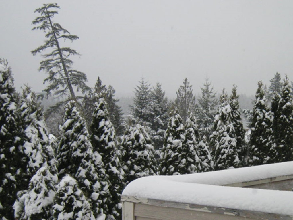
A picture containing tree, outdoor, sky, snow.
Washington in January 2012. Photo: Steven Slater.