By Misael Trejos Ingerson
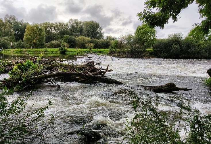
Flooding is a major source of property damage in the United States, whether from coastal tides, heavy precipitation, or snowmelt. All can affect the public and potentially cause major loss of life, like in the 1972 Rapid Creek Flood. However, forecasters around the country work around the clock to inform the public about natural hazards using technology and techniques created and improved over decades. These technologies interest me, specifically hydrologic models that help provide guidance to forecasters on river water levels. This guidance increases forecast accuracy and reliability while also increasing lead time for decision-makers to make important operations.
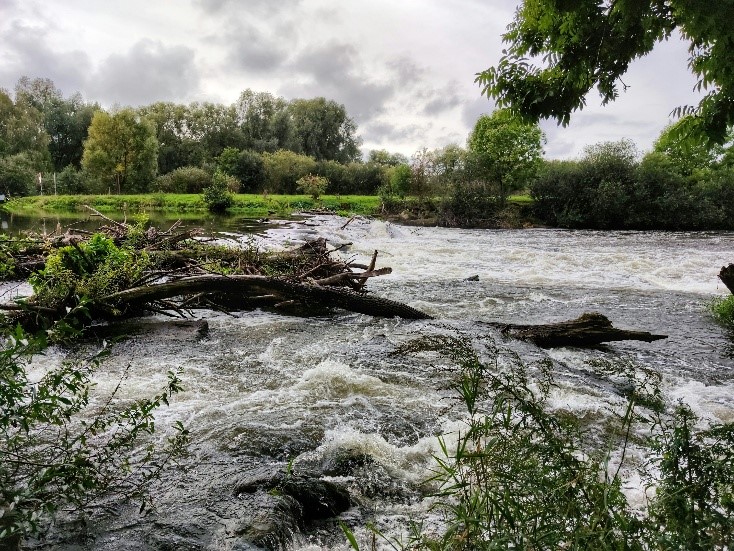
For my capstone project, I decided to look at a hydrological model called the National Water Model. This model aims to help guide forecasters and decision-makers in the event of a flash flood for streams and rivers that do not have coverage from stream gauges. These gauges are situated across the country and observe the current water level, giving forecasters vital data for their forecasts. Despite the over 12,000 gauges in the United States, only 3% of stream miles are accurately represented, according to Esri. This is a service gap that the National Water Model intends to cover, which is why it is important that the data being output is accurate and reliable.
The main question I want to answer is whether the National Water Model is able to provide accurate guidance on river flooding in the Black Hills. I discussed the model’s limitations with Brian Cosgrove, one of the model’s developers and the author of several papers. He told me the model often struggles to forecast semi-arid areas; the reservoir “fill and spill” calculation accounts only for the reservoir operator’s planned water release; and the product output uses only one physics model for the watershed, leaving more complex terrain underrepresented.
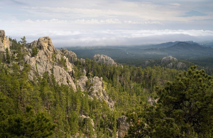
Because the Black Hills has all of these factors limiting the National Water Model, it is important to determine if this model is a reliable source of information that could help mitigate disasters like the Rapid Creek Flood in 1972 and provide valuable information to people in the Black Hills. These floods can cause massive property damage and loss of life, leaving underrepresented areas devastated.
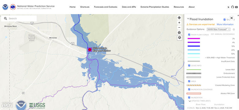
I intend to take the public output of the National Water Model and compare its retrospective outputs of flood events to actual data. Some ideas that I have so far are the FEMA flood maps. These also line up with the Flood Inundation Maps that use the National Water Model for outputs. These maps provide a visual representation of the area where water spreads in the event of a flood. Unfortunately, FEMA flood maps are less detailed and reliable in rural areas, so I would have to restrict my study area to Pennington County. Overall, I still have a long way to go before beginning my actual research, but I am excited to continue learning and hopefully help improve flood forecasting in the Black Hills.
References:
National Water Prediction Service – NOAA. (2024). Noaa.Gov. https://water.noaa.gov/
National Weather Service (NWS). (n.d.). National water model (NWM) Max Forecast FIM [Technical guidance document]. Retrieved November 2, 2026, from https://www.weather.gov/media/owp/operations/Viewing_FIM_NWPS.pdf
The national water model: Forecasting the future. (n.d.). Www.Esri.Com. Retrieved November 2, 2026, from https://www.esri.com/en-us/industries/water-resources/overview/national-water-model
Bio:
My name is Misael Trejos Ingerson, and I am a senior at the South Dakota School of Mines, majoring in Atmospheric and Environmental Sciences. I chose this major because I have a broad interest in Earth studies like geology and meteorology, with a more specific interest in heavy precipitation weather like floods. This is why I am aiming for a career at the National Weather Service’s Forecasting offices, where I can pursue my passion in meteorology while keeping the public informed about the day-to-day weather. I come from Minneapolis, Minnesota, where I like to bike on the numerous paths and parks in the Metro area. I also have a passion for video games, and I often find myself delving into multi-month projects, modifying any games I take an interest in for fun.

